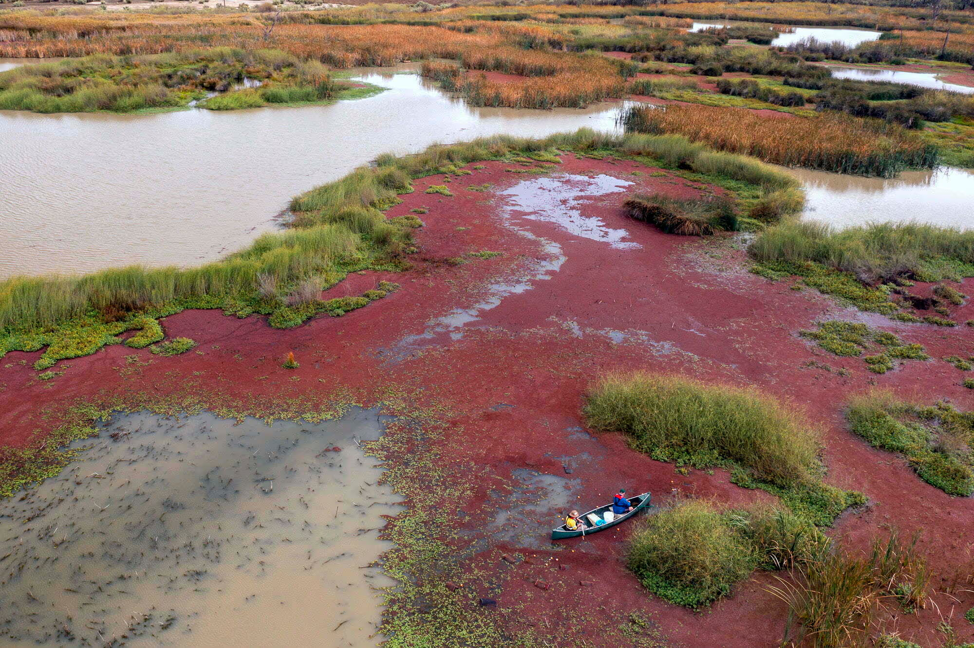
The Mid-Murray Floodplain Recovery Reach spans the Victorian and NSW Murray Floodplain and includes the Murray River, lower Campaspe River lower Goulburn River, Broken Creek, Barmah-Millewa Forest Icon Site, and the upper reaches of the Edwards-Wakool anabranch system. The approximate area of the reach is 10,000 km2 and it consists of a network of over 400km permanent waterways, ephemeral creeks, and wetlands.
The importance of this Recovery Reach
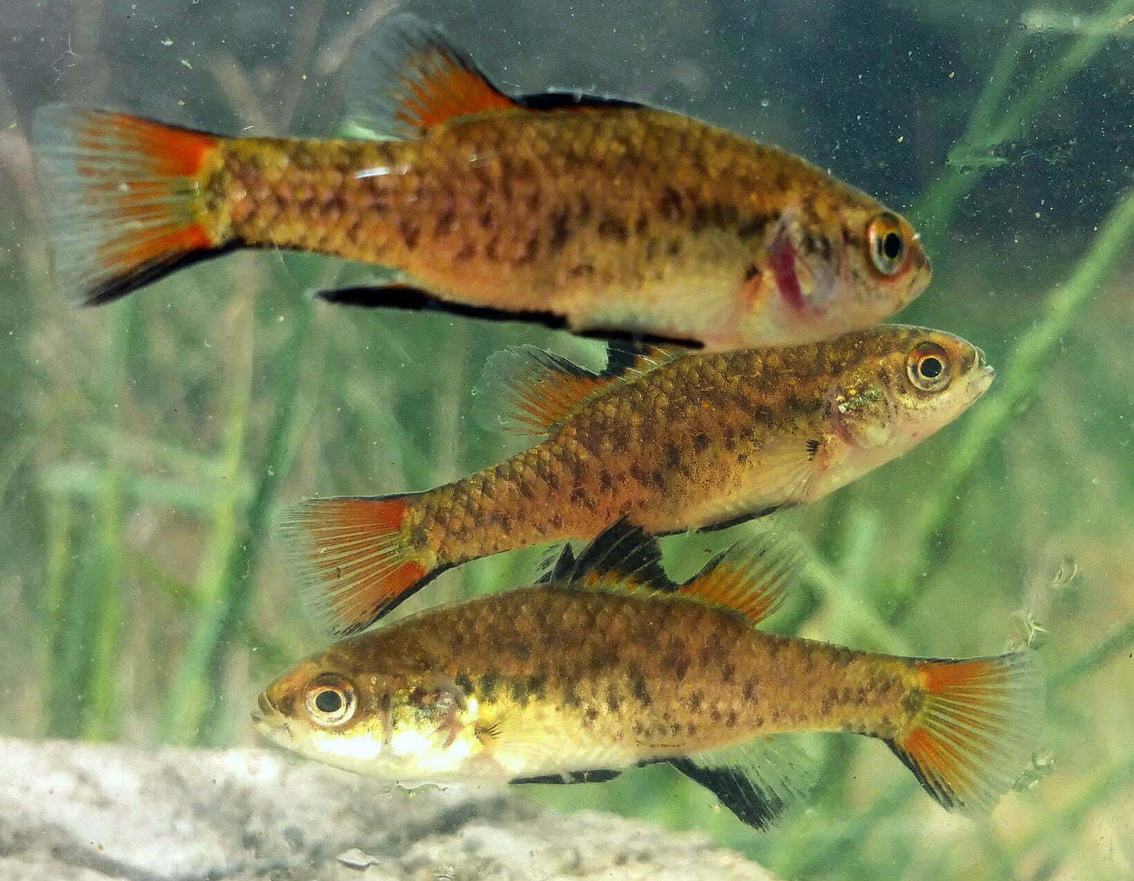
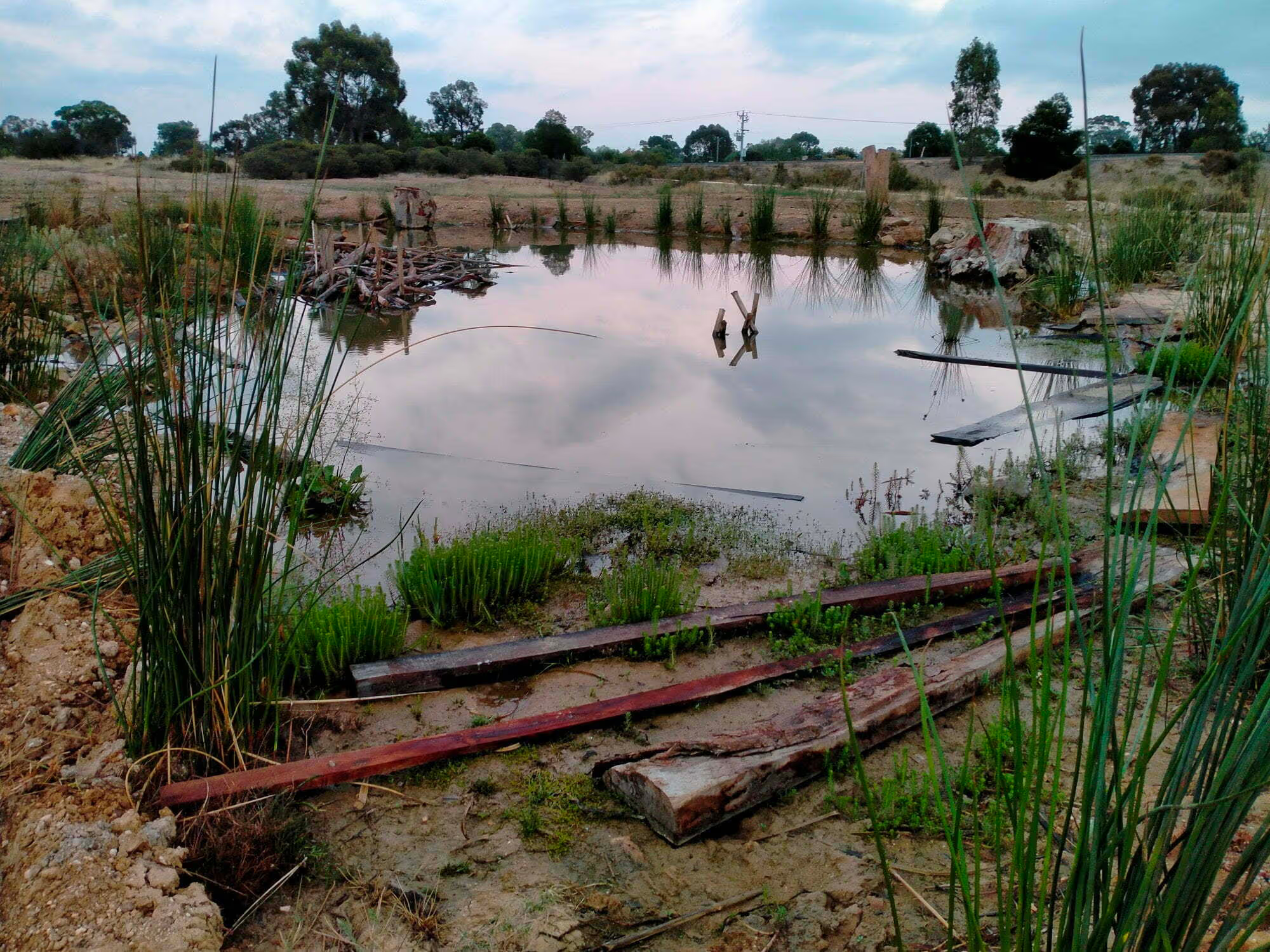
The Mid-Murray floodplain Recovery Reach has one of the highest diversities of native fish species within the Murray-Darling Basin. The reach is a stronghold for recreational fishing species such as Murray cod and golden perch and contains important populations of threatened species such as trout cod and silver perch. The reach has a mosaic of habitat types including the Murray River and large lowland tributary rivers, flowing anabranches, billabongs, lakes, and small permanent floodplain wetlands within Ramsar listed river red gum forests. These diverse habitats support a diverse fish assemblage. The reach contains critical habitat for threatened floodplain specialist fish such as southern pygmy perch and flat-headed galaxias. These floodplain habitats can be further enhanced to support locally extinct small-bodied fish such as southern purple spotted gudgeon and to provide productive nursery areas for juvenile golden and silver perch.


